
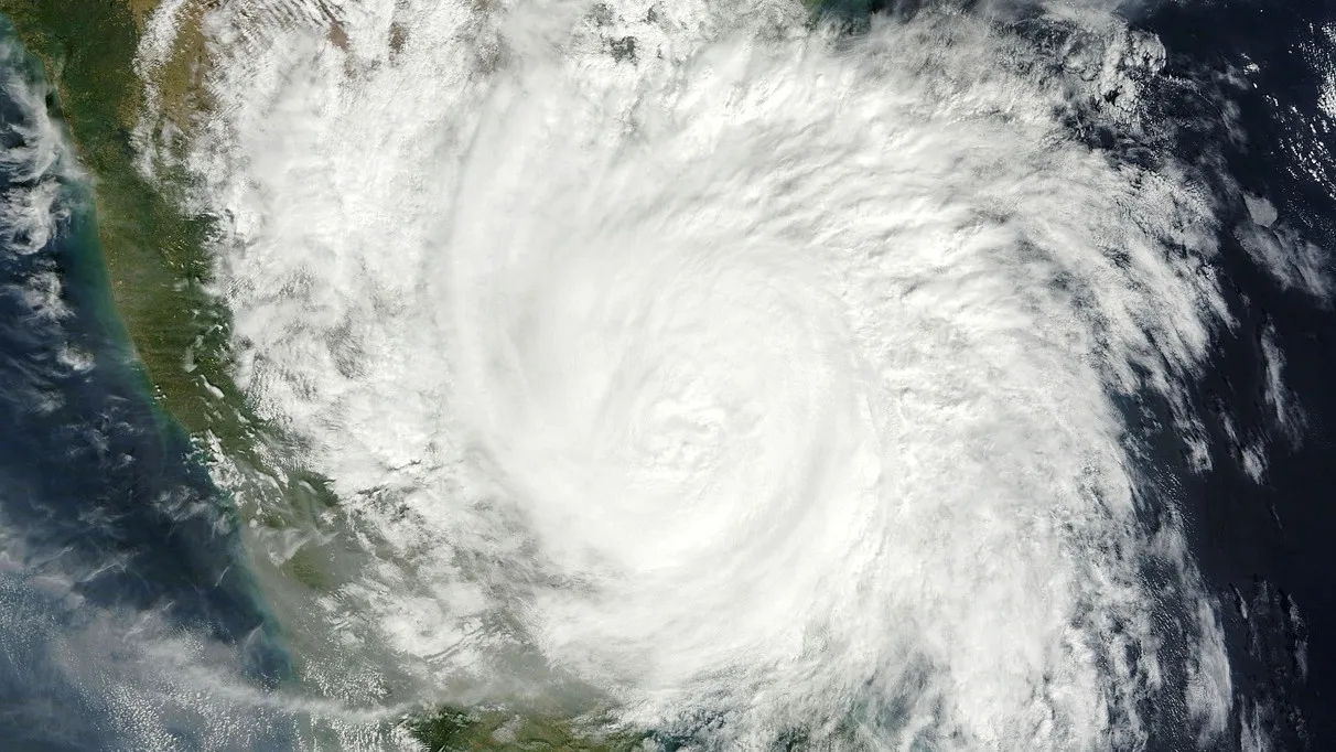
A low-pressure area over the southeast and east-central Bay of Bengal has intensified into a depression and is rapidly strengthening while moving towards the Andhra Pradesh coast, the India Meteorological Department (IMD) said on Saturday.
In a special bulletin issued by the Regional Meteorological Centre in New Delhi, the IMD stated that the system is currently centred about 820 km southeast of Visakhapatnam and 910 km from Kakinada. It is expected to move initially southwards and intensify into a deep depression by October 25. Thereafter, it is likely to recurve and move west-northwestwards, gaining further strength.
According to IMD forecasts, the system is projected to become a cyclonic storm by October 26, a severe cyclonic storm by October 27, and a very severe cyclonic storm by the morning of October 28. It is likely to cross the Andhra Pradesh coast between Bapatla and Visakhapatnam around 11:30 a.m. on October 28. At the time of landfall, sustained wind speeds are expected to reach 115–125 km/h, with gusts up to 140 km/h.
Meteorologists noted that ocean conditions are highly favourable for intensification, with sea surface temperatures ranging between 29–30°C and support from the Madden-Julian Oscillation (MJO). Most global weather models indicate the system will track towards the Andhra Pradesh coast and intensify into a very severe cyclonic storm, though a few suggest possible movement towards Odisha or Tamil Nadu with lower probability.
The IMD has issued a pre-cyclone watch for the coastal areas of Andhra Pradesh and Yanam. Officials emphasised that the track and intensity will be closely monitored and updates will be issued regularly. Coastal residents and fishermen have been advised to remain alert and strictly follow official instructions. The system is expected to bring heavy rainfall, strong winds, and high sea waves along the affected coast.


